
Tabula Peutingeriana – Pantalla individual
| Topónimo (simplificado): | (unnamed / illegible, no. 69) |
| Nombre (moderno): |
|
| Imagen: | 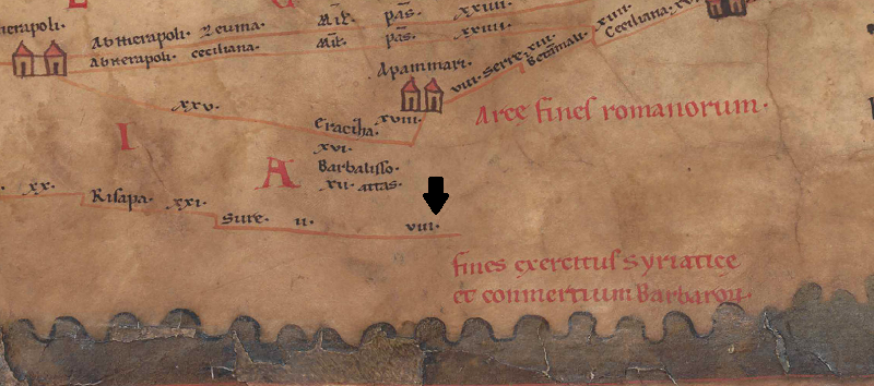 Al detalle de la imagen |
| Topónimo antes | II Sure |
| Topónimo después | VIII (unnamed / illegible, no. 70) |
| Imagen alternativa | --- |
| Imagen (Barrington 2000) | --- |
| Imagen (Scheyb 1753) | --- |
| Imagen (Welser 1598) | --- |
| Imagen (MSI 2025) | --- |
| Área: | Siria/Palestina/Arabia |
| Tipo de topónimo: | Sin topónimo legible |
| Cuadrícula: | 10C2 |
| Color del topónimo: | sin color |
| Tipo de viñeta: | --- |
| Itinerario: |
|
| Nombres alternativos (diccionarios): |
|
| Nombre A (RE): |
|
| Nombre B (Barrington Atlas): |
|
| Nombre C (TIR / TIB /otros): |
|
| Nombre D (Miller): |
|
| Nombre E (Levi): |
|
| Nombre F (Ravenate): |
|
| Nombre G (Ptolemaios): |
|
| Plinius: |
|
| Strabo: |
|
| Datación del topónimo en la TP: | --- |
| Fundamento para la datación: |
|
| Comentario al topónimo: |
Kommentar (Talbert): |
| Bibliografía: |
Miller, Itineraria, Sp. 759; |
| Última elaboración: | 20.10.2023 21:12 |
Cite this page:
https://www1.ku.de/ggf/ag/tabula_peutingeriana/trefferanzeige_es.php?id=1724 [zuletzt aufgerufen am 10.04.2026]