
Tabula Peutingeriana – Einzelanzeige
| Toponym TP (aufgelöst): | Lacus salinarum hic sal per se conficitur |
| Name (modern): | Sivash |
| Bild: | 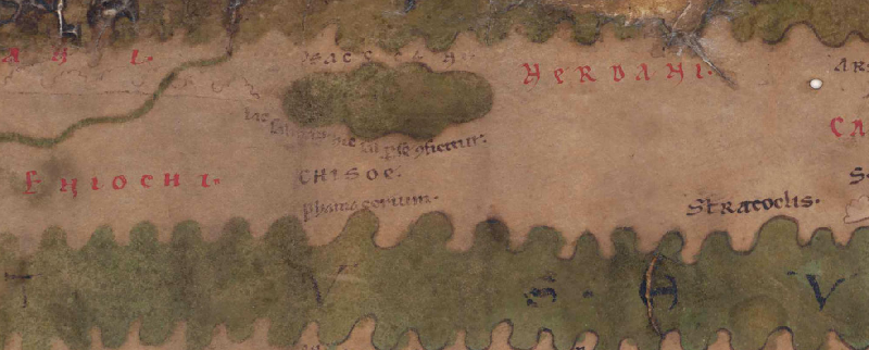 Zum Bildausschnitt auf der gesamten TP |
| Toponym vorher | |
| Toponym nachher | |
| Alternatives Bild | --- |
| Bild (Barrington 2000) | --- |
| Bild (Scheyb 1753) | --- |
| Bild (Welser 1598) | --- |
| Bild (MSI 2025) | --- |
| Großraum: | Asien östl. d. Maiotis (Asowsches Meer), nördl. d. Taurus |
| Toponym Typus: | chorographische Information |
| Planquadrat: | 8A4 |
| Farbe des Toponyms: | schwarz |
| Vignette Typus : | --- |
| Itinerar (ed. Cuntz): |
|
| Alternativer Name (Lexika): |
|
| RE: | Byke |
| Barrington Atlas: | Bykes Limne (23 G2) |
| TIR / TIB /sonstiges: |
|
| Miller: | lacus salinarum hic sal per se conficitur (958) |
| Levi: |
|
| Ravennat: |
|
| Ptolemaios (ed. Stückelberger / Grasshoff): | Βύκης λίμνη (3,5,9.10.25; 3,6,1) |
| Plinius: |
|
| Strabo: |
|
| Autor (Hellenismus / Späte Republik): |
|
| Datierung des Toponyms auf der TP: | --- |
| Begründung zur Datierung: |
|
| Kommentar zum Toponym: |
Link zum Namenlosen See: |
| Literatur: | Lit: Wilhelm Tomaschek, in: RE III / 1, 1897, 1104f. s.v. Byke; Miller, Itineraria, Sp. 958; Hugo Blümner, in: RE I A / 2, 1920, 2075-2099 s.v. Salz, hier 2078; Albert Herrmann, in: RE IV A / 2, 2258f. s.v. Taphros 1; Alexander V. Podossinov, Eastern Europe in Roman Cartographic Tradition, Moscow 2002, 356 [in Russian]; Carlos Cordova, Crimea and the Black Sea: An Environmental History, London/New York 2015, 115-117; Duane W. Roller, A Historical and Topographical Guide to the Geography of Strabo, Cambridge / New York 2018, 363. [Standard-Literatur-Liste im PDF-Format] |
| Letzte Bearbeitung: | 16.01.2025 14:46 |
Cite this page:
https://www1.ku.de/ggf/ag/tabula_peutingeriana/einzelanzeige.php?id=2762 [zuletzt aufgerufen am 07.04.2026]