
Tabula Peutingeriana – Einzelanzeige
| Toponym TP (aufgelöst): | (unnamed / illegible, no. 36) |
| Name (modern): |
|
| Bild: | 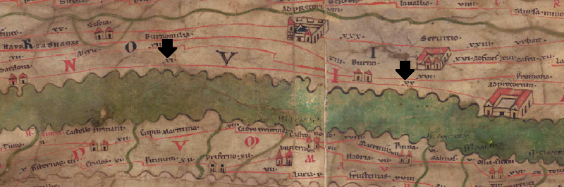 Zum Bildausschnitt auf der gesamten TP |
| Toponym vorher | XI Sardona |
| Toponym nachher | XX Ad Pretorum |
| Alternatives Bild | --- |
| Bild (Barrington 2000) | --- |
| Bild (Scheyb 1753) | --- |
| Bild (Welser 1598) | --- |
| Bild (MSI 2025) | --- |
| Großraum: | Balkanraum nördlich |
| Toponym Typus: | ohne lesbares Toponym |
| Planquadrat: | 5A1 |
| Farbe des Toponyms: | ohne Farbe |
| Vignette Typus : | --- |
| Itinerar (ed. Cuntz): |
|
| Alternativer Name (Lexika): |
|
| RE: |
|
| Barrington Atlas: |
|
| TIR / TIB /sonstiges: |
|
| Miller: |
|
| Levi: |
|
| Ravennat: |
|
| Ptolemaios (ed. Stückelberger / Grasshoff): |
|
| Plinius: |
|
| Strabo: |
|
| Autor (Hellenismus / Späte Republik): |
|
| Datierung des Toponyms auf der TP: | --- |
| Begründung zur Datierung: |
|
| Kommentar zum Toponym: |
Auf dieser sehr verworren dargestellten Strecke (s. ItMiller 474) ist offenbar eine Station ausgefallen. Lediglich die Distanzangaben sind eingetragen: davor auf 5A1 11 Meilen ab Sardona und dahinter auf 5A2 20 Meilen bis Adpretorium. |
| Literatur: | Miller, Itineraria, Sp. 474 f. [Standard-Literatur-Liste im PDF-Format] |
| Letzte Bearbeitung: | 10.12.2022 09:37 |
Cite this page:
https://www1.ku.de/ggf/ag/tabula_peutingeriana/trefferanzeige.php?id=773 [zuletzt aufgerufen am 28.07.2026]